Fibre-optic based wireless positioning
Challenge
Global Navigation Satellite Systems (GNSS) have become an essential infrastructure, as citizens, industry and the sciences came to rely on its navigation and timing applications. Roughly 7 % of the EU economy benefits from GNSS applications, a market forecast to be worth €250 billion a year by 2022.
However, with no backup infrastructure, any disruption of GNSS signals would cause huge disruption. Indeed, relatively weak strength means these radio signals are vulnerable to interference, either due to natural causes like solar storms, or human intervention, such as signal jamming. Cyber-threats are also foreseeable.
GNSS signals have proved ideal for driver navigation, but more demanding applications may not be supportable using satellite signals alone. Standard receivers are accurate to 5 to 10 metres at best, less so in cities where reflections from buildings limit resolution. GNSS cannot work in tunnels, or indoors. Autonomous vehicle researchers have supplemented GNSS-based guidance with onboard sensors such as LIDAR, but the computational overheads present new vulnerabilities. For such a safety-critical application, reliable and robust positioning will be essential: for lane-level control 10 to 20-centimetre resolution is the target.
As a complementary solution, a Delft University of Technology led consortium proposed a hybrid optical-wireless terrestrial positioning concept branded SuperGPS. Exploiting the network synchronisation capabilities of White Rabbit (WR), an opensource Ethernet-based protocol developed at CERN, the concept envisioned applications of timing signals distributed via opticalfibre networks and ground-based antennae to transmit more tuneable radio signals.
Theoretically, SuperGPS could provide a more accurate and reliable backup to GNSS if receiving devices could apply its signals to compute a precise position. However, with no practical means to calibrate such a system, the consortium could not be sure these timing signals could be held in sync, to the sub-nanosecond level, as required to demonstrate decimetre-level positioning accuracy.
Solution
The EMRP NEAT-FT project showed that WR could be used to synchronise time signals to the nanosecond-level over large distances over dedicated fibre links.
The subsequent EMPIR TIMEFUNC project refined these methods to work in practical scenarios such where fibre networks were not terminated at the same location and for shared fibre networks. The networking hardware and service provider OPNT was also trained to calibrate WR networks.
Impact
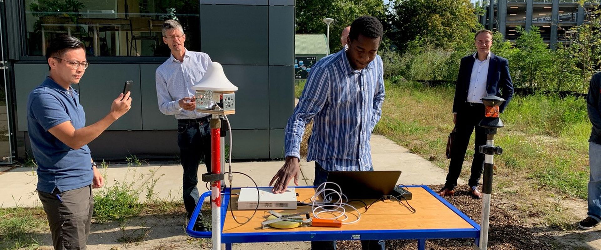
Supported by the Netherlands Organisation for Scientific Research, the SuperGPS consortium developed a demonstrator testbed for its terrestrial positioning concept at The Green Village in Delft, calibrated by VSL to sub-nanosecond level using the method developed in TIMEFUNC.
An optical-fibre network with five OPNT timing nodes was installed, each synchronised to a few tenths of a nanosecond by optical reference timing signals. The reference signal also regulated ultrawide-band antennas that transmitted short-range wireless signals in place of GNSS.
For a field demonstration of the SuperGPS testbed in September 2020, positioning data was surveyed by receivers in 33 locations across the site. Initial results showed positioning in the lowdecimetre range was achieved, making SuperGPS the first experimental demonstration of a fibre-based terrestrial positioning system.
Further research may address city and highway scenarios, and while autonomous transport is an obvious application, the consortium foresees vast innovation potential from combining wireless telecoms and GNSS. Highly-precise, robust and even more ubiquitous timing and positioning services would then support new navigation applications, European technology independence, and stimulate further growth of the economy and jobs markets.
- Category
- EMPIR,
- Support for Impact,
- New Technologies,
