Confidence in climate data
Challenge
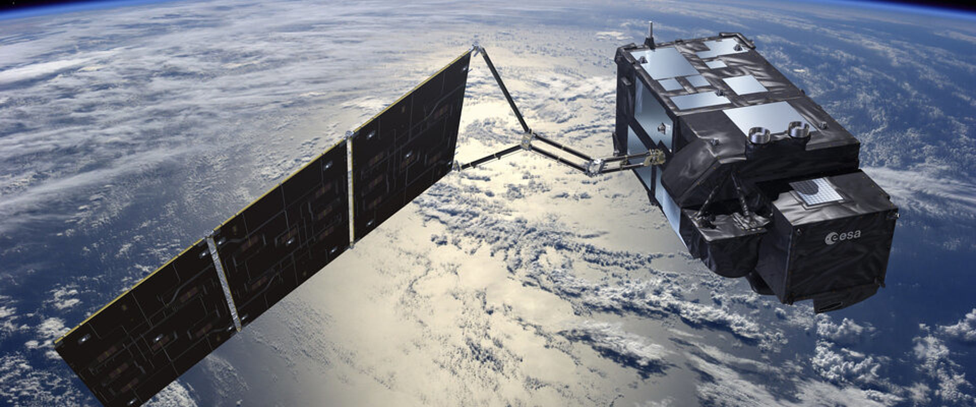
The instruments used on board satellites to make measurementsof key climate variables are calibrated prior to launch to ensure their accuracy. However, instrument performance can change during launch into space, and once in flight instruments operate in a very different environment to that in which they were calibrated. Changes in instrument response post-launch, due for example to the effects of reduced gravity, can be estimated but this makes the calculation of measurement uncertainties – and therefore the accuracy of the measurements – problematic.
Without sufficient knowledge of how accurate measurements are, it is very difficult to compare climate data produced from different sources, using different methods, at different points in time. This limits the usefulness of available data, both historic and current. Improved uncertainty evaluation methods are required to enable greater confidence in climate data and the climate projections they underpin.
Solution
The EMRP project European metrology for Earth observation and climate carried out research to better understand the performance of climate monitoring instrumentation in space and the measurement uncertainties that arise in this operating environment. Based on this extensive study, project researchers developed a method that enables the most robust comparison to date of historic and modern climate data from satellites. The method is freely-available to climate researchers in a good practice guide.
Impact
The UK Met Office generates some of the most comprehensive climate projections ever produced, to help decision-makers assess the UK’s risk exposure to climate change and inform mitigation and adaptation strategies. These predictions are guided by climate data generated from a number of sources, both historic and current.
The Met Office will use the new uncertainty evaluation method developed within the project, to enable the combination of climate data collected on the most recent European Sentinel satellite missions with its existing datasets. This opens up a significant amount of additional climate data to the Met Office for climate monitoring and modeling purposes, improving the quality and range of measurements available to guide its climate projections.
The method and the research it is based on have also been assembled into a course and textbook for Earth observation scientists, to be made freely-available online in the near future, due to continuing funding support from EMRP. This is a significant step towards improving understanding and use of measurement uncertainty evaluation in the climate research community and will contribute to improved climate models and projections.
- Category
- EMRP,
- Environment,
- EMN Climate and Ocean Observation,
