Seeing ocean colour from space
Challenge
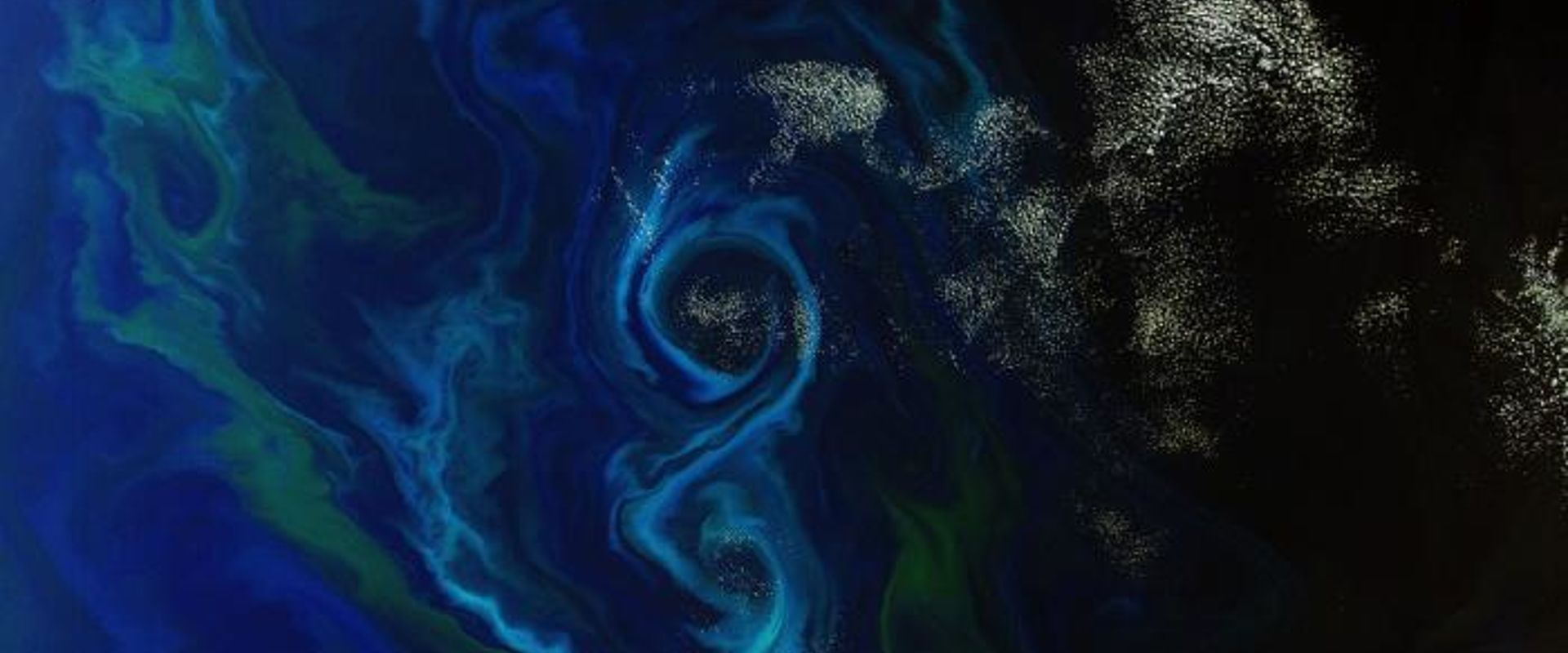
To analyse and assess ocean colour requires satellite measurements sensitive enough to distinguish small changes in the little light reflected by the ocean from the brighter background light reflected by the atmosphere. Radiometers, the instruments that measure ocean colour, are calibrated pre-launch, but due to demanding accuracy requirements and degradation in use must also be calibrated regularly post-launch against measurements made at sea. Given the challenging nature of ocean colour measurements, the quality of this post-launch calibration process is vital to ensuring satellite data is accurate.
Specially designed research buoys, moored in the open ocean, are equipped with instruments to make local measurements of a range of variables essential to climate models, including ocean colour. These reference measurements are compared to those taken by satellites passing overhead, and used to make corrections to satellite data. Regular ‘in situ’ calibration of these buoy based sensors to National Metrology Institute based accuracy levels is needed to link the satellite measurements to the SI units. This will ensure data is of the quality needed to support robust climate change monitoring. However, light sources conventionally used to calibrate these instruments at the detail and accuracy levels needed are both bulky and heavy, making them unsuitable for transportation to research buoys or local shore based facilities.
Solution
The EMRP project European metrology for earth observation and climate developed a novel spectrally-tuneable laser-based light source. This easily transportable source enables in situ or near insitu calibrations, providing traceability not only to the equipment on ocean buoys but also to satellite measurements of ocean colour. The new calibration standard’s compactness and ability to be used under vacuum will make pre-flight satellite calibrations at nearer to operating conditions possible. Future adaptations of the light source may enable in-flight SI-traceable satellite radiometer calibration.
Impact
One of the first beneficiaries of the new portable calibration standard was BOUSSOLE, an international project supported by a range of organisations including the European Space Agency (ESA) and French space agency CNES. BOUSSOLE was established in 2000 to support the calibration and validation of ocean colour sensors in order to better assess long-term changes in the ocean resulting from climate change. Located in the Mediterranean Sea approximately 60 kilometres off the coast, the BOUSSOLE buoy hosts reference instruments used to validate the measurements of overflying satellites or aircraft-borne sensors.
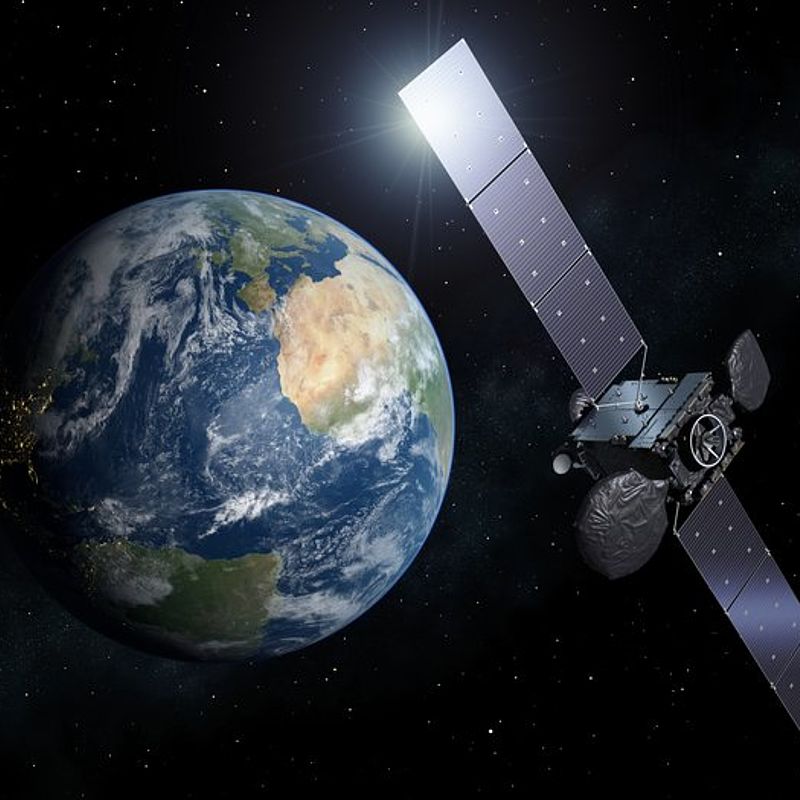
Instrumentation on the BOUSSOLE buoy has now been calibrated using the new portable standard developed within the EMRP project. The measurements demonstrated that buoy traceability can be improved, and with appropriate funding will enable regular calibration to high quality standards traceable to the SI. The buoy is currently being used to confirm the response of the European Ocean Land Colour Instrument (OLCI) recently launched on the Copernicus Sentinel 3 satellite.
This is just one example of how the new calibration standard is improving the accuracy and traceability of ocean colour measurements, and ultimately supporting more robust carbon cycle trend analysis and climate monitoring.
- Category
- EMRP,
- Environment,
- EMN Climate and Ocean Observation,
